


Blog
Flood Risk Management & Flood Mitigation Measures for Storms

Blog
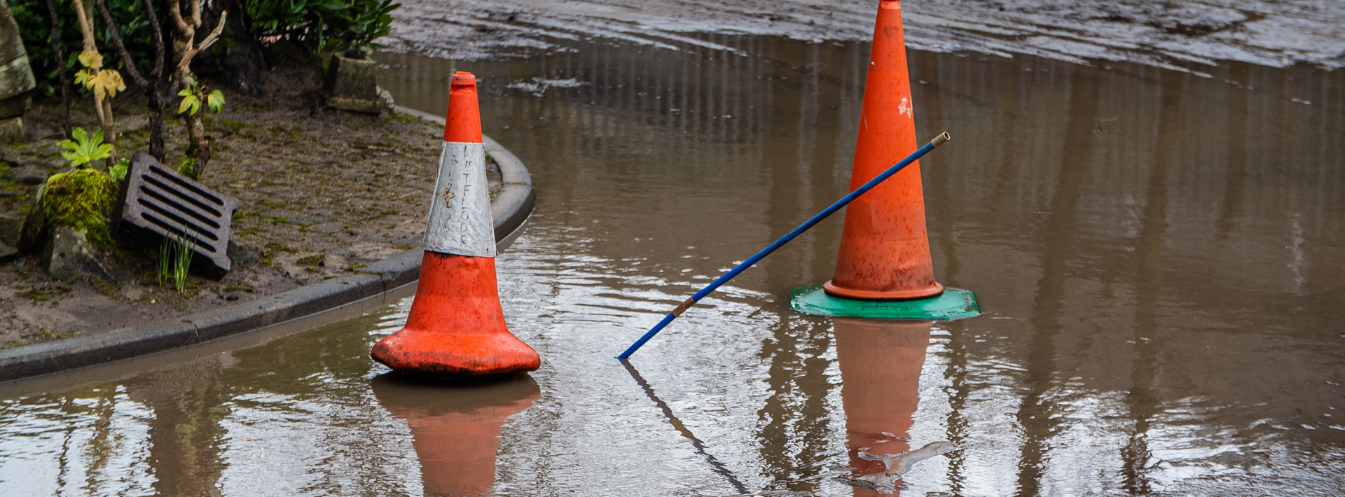
Changes in the UK climate have seen an increase in rainy weather. The decade from 2012 to 2021 was, on average, 2% wetter than 1991 to 2020 and 10% wetter than 1961 to 1990 for the UK. Since records began in 1836, five of the ten wettest years in the UK have occurred since 2000.
With this increased storm intensity and frequency, a modern-day engineer must adapt and find ways to manage water run-off and keep public spaces safe.
Here, we explore how to understand flood risks and compile a practical flood risk assessment to ensure developments are resilient and compliant with local and national regulations.
Additionally, Benjamin Birkhead, from the Marshalls Design Team, looks at how to design effective flood mitigation measures for storms.
Flood risk defines the probability of a flood occurring and its potential impact. Both of these areas must be assessed to understand the overall risk to a construction project properly.
With climate change increasing the frequency and severity of floods, stringent measures must be taken to identify and address the risk of the following types of flooding:
Once you understand the types of flooding your development may be at risk of, you can start to assess and mitigate them as part of a flood risk assessment.
Causes lead to effects, though, and in the case of floods, these have a very real human layer that we mustn’t ignore.
In 2023 research presented by the UK Health Security Agency, the number of people who are significantly at risk of flooding is set to increase by 61% by 2050 under the modest warming scenario of (+2ºC) and 118% under the high warming scenario (+4ºC).
Moreover, according to supporting mortality models, the number of deaths and serious injuries resulting from flooding is projected to increase by around a third by the 2050s.
Studies in journals such as Climatic Change reinforce these statistics, looking at predictions for how high-impact UK weather patterns will shift in the coming decades following rising average temperatures. Sustainability scientists show how the number of days with high-impact rainfall could increase by up to 8 days per year from current levels.
Engineers must carry out strategic flood risk assessments to adequately assess flood risks. An FRA is made up of several key steps and considerations, these are:
The assessment should consider current and future flood risks, accounting for factors such as climate change. To do this, the FRA should address:
Detailed hydraulic modelling may be necessary for large-scale or high-risk developments to understand the flood risk accurately. This includes:
Engineers should propose practical mitigation measures to manage identified risks. These may include:
The assessment should also account for residual risks, such as the potential breach of flood defences. This involves:
Understanding the insurance implications is crucial. To fulfil this part of the FRA, engineers should:
The final step is to compile all findings into a FRA. This document should:
Once these areas are satisfied, the completed FRA must be submitted to the local planning authority along with the planning application. If the FRA is not satisfactory, the planning application may be refused.
On a standard development, engineers design drainage measures to effectively manage rainwater and stormwater run-off. To provide adequate drainage, an engineer calculates the amount of run-off that will be made on a site's hardstanding and soft-landscaped areas.
As expected, the hardstanding areas produce more run-off, and landscaped areas produce less. This calculation involves modelling a storm event that produces rainfall intensity over time and applying a run-off model, resulting in total volume run-off in each catchment.
These calculations are typically carried out using Micro Drainage or Causeway Flow software.
The volume and rate of run-off will then be used to determine the sizes and required capacities of the drainage interventions for a site. These interventions can include storage structures such as infiltration basins, soakaways, attenuation tanks, or permeable paving. They will also include ways of conveying the run-off from one storage structure to another, such as pipes, swales, or French drains.
When discussing storm intensity, most people will think about the millimetres of rainfall. While this is correct, engineers usually refer to storm intensity by how likely a storm of such intensity will occur each year. For example, a one-in-10-year storm event is less intense than a one-in-100-year storm event.
The one-in-10-year event has a rainfall intensity of a magnitude that it has only a 10% chance of occurring each year. The actual rainfall depth, as a millimetre of a one-in-10-year storm, varies depending on the location, as some places can experience rainfall more frequently and in greater volumes.
The two most common rainfall calculation methods engineers use are:
1. FSR (Flood Studies Report)
This document is based on rainfall data from the 1940s. Released in 1975, this method describes rainfall in a catchment location using an m5-60 value and an r value.
This refers to the rainfall depth during a one-in-5-year storm over a 60-minute duration. Using this methodology, it's typical to refer to a storm event using the notation MX-YY, where X is the return period, and YY is the storm duration (typically in hours, though not always).
This is the ratio of rainfall from the m5-60 value to the m5-24 value for the location (that is, a 1 in 5-year storm event, 60-minute depth to 24-hour depth).
These values can typically be input directly into software to simulate rainfall events of varying duration.
2. FEH (Flood Estimation Handbook)
This is a more modern approach to calculating rainfall, using different catchment descriptors. Catchment descriptors are the coefficients used to describe rainfall events for a particular catchment location. FEH typically uses six catchment descriptors.
For this method, a web service typically receives an XML file containing the catchment descriptors that can be directly input into drainage design software.
As a design team, we get involved in many permeable paving designs. Using the FSR methodology, we typically model the subbase to store run-off for the one-in-100-year storm event. Unless otherwise requested, we base the rainfall data on the site's location. There can sometimes be a need to use FEH data, which we have used in the past when requested, but we typically stick to the former.
Do you need support mitigating flood risk for your project? Our team has been involved in countless sustainable drainage system (SuDS) projects and initiatives across the UK, saving developers time, cost, and carbon while creating safe and resilient spaces.
We’re a leading provider of flood protection solutions, combined kerb and drainage systems, below-ground drainage systems, and linear drainage systems, and our qualified civil engineers offer tailored consultancy at every stage of your project.
To work with the team, visit our hub page and contact us.
Written By

Benjamin Birkhead is part of the Marshalls Design Team, providing value-engineered permeable paving solutions to customers.